Explore Our Properties
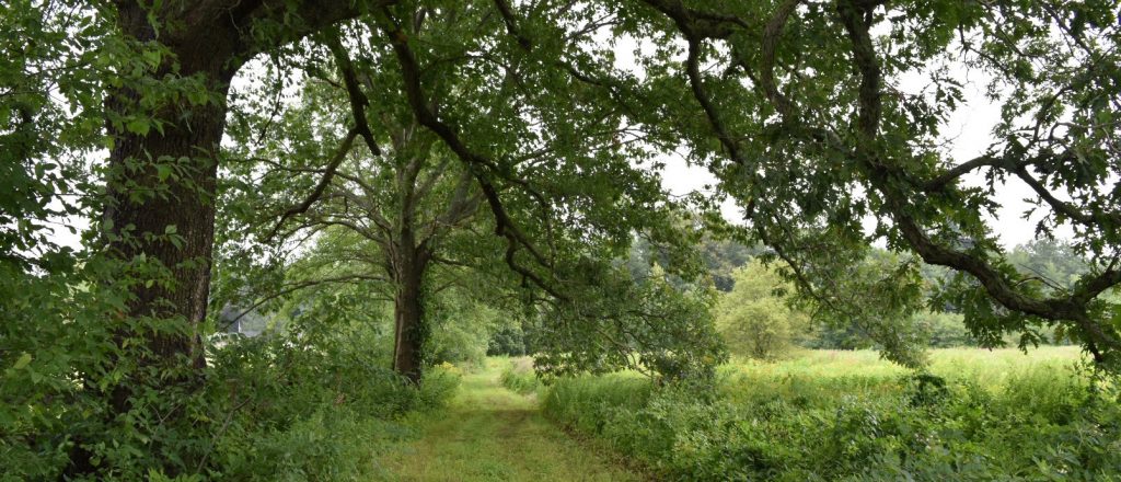
We welcome all to the Town of Lincoln’s Conservation land and trails!
These trails, fields, streams and forests represent generous gifts from earlier generations for all of us to enjoy. Please savor and respect these natural areas – use and manage them appropriately for those who will come after you, whether tomorrow or a century from now.
Paper trail maps can be purchased online here or in person at LLCT/LCD offices and at local retailers. Below you will find printable PDF sections of the trail map for easy use on the trail.
Printable PDF Maps (2023)
Baker Bridge Fields and Adams Woods Trails
Beaver Pond, Stony Brook, Umbrello, and Fernald Wood Trails
Codman North, South, and East, and Bergen-Culver Trails
Flint’s Pond and Pine Hill Trails
Mt. Misery and Farrar Pond Trails
Pigeon Hill, Browning Field, and Silver Hill Bog Trails
Ricci Farm and Tanner’s Brook Trails
Wheeler Farm, Flint Fields, and Osborne Farm Trails
Explore Our Trails
Engage with interactive maps and Google Earth photos. GPX files are also available if you’re navigating with a GPS-enabled device. This resource is brought to us by Thomas Rhines who created these maps as his Eagle Scout project.
Explore the Passport
Download the LLCT passport. The passport includes a selection of kid friendly routes through Lincoln’s conservation areas, along with suggested activities and things to look for. Children who complete an activity can bring their passport to the Lincoln Public Library or the Conservation Commission office for a stamp.